A young colleague with a university degree, about to start training as a teacher, told me recently that such was her dependency on SATNAV she would have had no clue how to make her way from Kent to Cologne with only a map for guidance. I found that quite shocking. I guess I took it for granted that any sighted person who has been through full-time education could read a map and simply follow the signs to a destination.
I also actually enjoy jotting down verbal instructions on the back of an envelope and following them - you know the kind of thing: “Take the A21 to Hastings, and just before the King George pub at Hurst Green, there’s a corner with a big oak tree and a red postbox on the left - take the little road and follow it until you come to a bridge, about a mile along....”.
Last time we went to Wales, however, even though we’ve driven along the M4 corridor literally hundreds of times to visit family, we got comically lost on every single drive around Cardiff’s surrounding country. It did, though, give us an opportunity to seek help from friendly locals, notably Phil, a Fish and Chip shop owner near Bridgend. Not only did he come out from behind the fryer, fire up his laptop, and search for the hotel we were trying to find, but went so far as to give us his mobile number and told us to call him if we got lost again and he’d direct us over the phone! Beyond friendly, as they say in the valleys of South Wales!
Another colleague recommended I use SATNAV when I recently had to visit seven coach companies in the Midlands and further North, all in unknown territory. It was, I admit, very useful, although I did end up in some odd places along narrow country roads when I inputted a postcode rather than the specific building number of the location. I was particularly grateful, when en route in Lancashire from Chipping to Oswaldtwistle, and I came across a closed road, to have the SATNAV’s re-routing facility to guide me on. Just popping in the address for the next stop, and the ‘time to your destination’ display, took all the stress out of the journey.
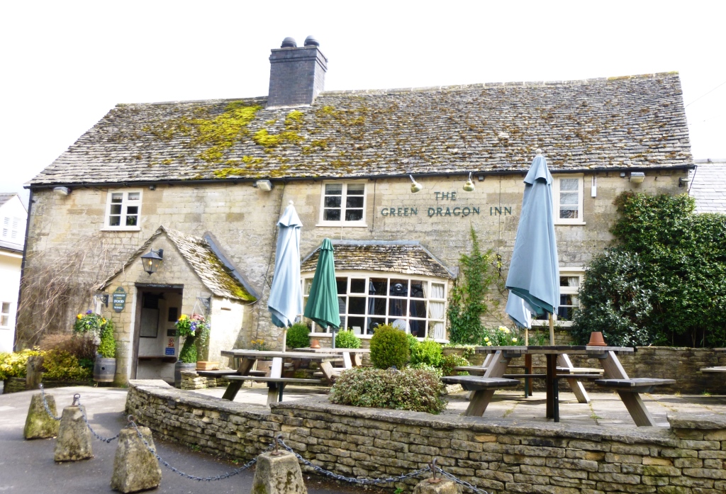
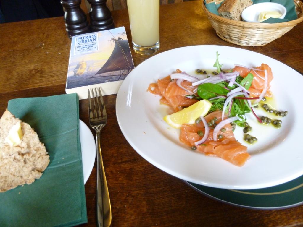
On my final day, after my last appointment in Cheltenham, my little friend directed me in a bee-line to the M4 via a hilly country road, and, perfectly timed for lunch, I came across the charming Green Dragon Inn at Cockleford, first established in 1675. I tucked into a plate of smoked salmon and crusty brown bread, accompanied by a glass of cloudy apple juice produced locally, together with a few pages of Patrick O’Brian’s The Mauritius Command (my other trusty travelling companion) - a perfect combination for the weary traveller!
An elderly lady once told me that during the Second World War all the road signs were taken down in order to confuse the enemy should they succeed in invading our sceptre’d isle. I like to think that both her generation and mine could still navigate our way using the geography skills we’re taught at school, and a good map (but then presumably so could roving spies!).
Dominick Tyler, in his beautiful book Uncommon Ground - A Word-Lover's Guide to the British Landscape (a Christmas gift from my son Tom), includes this reflection on Welsh landscape: "... I began to appreciate the descriptiveness of Welsh landscape language, and how well-suited it was to communication about places and routes. The fact that the bulk of the Welsh lexis predates mapping goes some way to explain this descriptiveness, since journeys must have been shared in telling, rather than drawing, for centuries."
I guess that famous uber-long Welsh place name must be a brilliant example of this: Llanfairpwllgwyngyllgogerychwyrndrobwllllantysiliogogogoch, meaning roughly "St Mary's Church in the Hollow of the White Hazel near a Rapid Whirlpool and the Church of St Tysilio near the Red Cave".


 RSS Feed
